
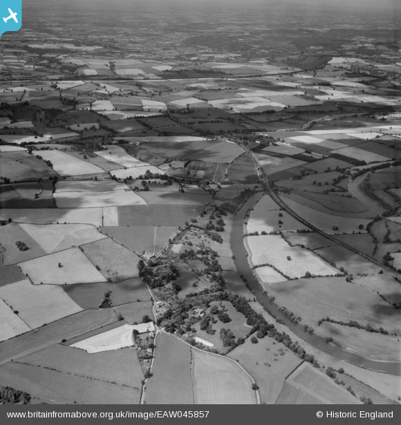
EAW045857 ENGLAND (1952). The River Wye and countryside around Ashe Ingen Court, Bridstow, from the south, 1952
© Copyright OpenStreetMap contributors and licensed by the OpenStreetMap Foundation. 2026. Cartography is licensed as CC BY-SA.
Nearby Images (7)
EAW045857

EAW045862

EAW045858

EAW045852

EAW045853

EAW045854

EAW045855

Details
| Title | [EAW045857] The River Wye and countryside around Ashe Ingen Court, Bridstow, from the south, 1952 |
| Reference | EAW045857 |
| Date | 12-July-1952 |
| Link | |
| Place name | BRIDSTOW |
| Parish | BRIDSTOW |
| District | |
| Country | ENGLAND |
| Easting / Northing | 358179, 225978 |
| Longitude / Latitude | -2.6083038183202, 51.930309012392 |
| National Grid Reference | SO582260 |
Pins

Nowy Paul |
Friday 21st of February 2025 10:21:35 AM | |
|
Nowy Paul |
Friday 21st of February 2025 10:20:10 AM | |
|
Nowy Paul |
Friday 21st of February 2025 10:19:28 AM | |
|
Nowy Paul |
Friday 21st of February 2025 10:18:34 AM |