
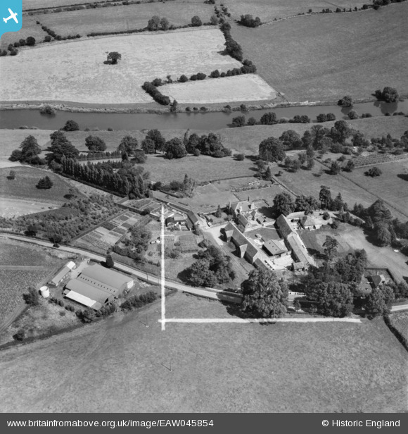
EAW045854 ENGLAND (1952). Ashe Ingen Court and Farm, Bridstow, 1952. This image was marked by Aerofilms Ltd for photo editing.
© Copyright OpenStreetMap contributors and licensed by the OpenStreetMap Foundation. 2026. Cartography is licensed as CC BY-SA.
Nearby Images (7)
EAW045854

EAW045855

EAW045853

EAW045852

EAW045858

EAW045862

EAW045857

Details
| Title | [EAW045854] Ashe Ingen Court and Farm, Bridstow, 1952. This image was marked by Aerofilms Ltd for photo editing. |
| Reference | EAW045854 |
| Date | 12-July-1952 |
| Link | |
| Place name | BRIDSTOW |
| Parish | BRIDSTOW |
| District | |
| Country | ENGLAND |
| Easting / Northing | 358067, 226090 |
| Longitude / Latitude | -2.609946458143, 51.931307613439 |
| National Grid Reference | SO581261 |
Pins
Be the first to add a comment to this image!