
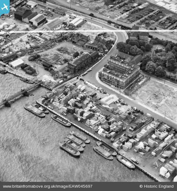
EAW045697 ENGLAND (1952). Trinity Wharf, Rotherhithe, 1952. This image was marked by Aerofilms Ltd for photo editing.
© Copyright OpenStreetMap contributors and licensed by the OpenStreetMap Foundation. 2026. Cartography is licensed as CC BY-SA.
Nearby Images (10)
EAW045697

EAW045694

EAW045689

EAW045690

EAW045692

EAW045696

EAW045693

EAW045691

EAW045695

EAW045685

Details
| Title | [EAW045697] Trinity Wharf, Rotherhithe, 1952. This image was marked by Aerofilms Ltd for photo editing. |
| Reference | EAW045697 |
| Date | 31-July-1952 |
| Link | |
| Place name | ROTHERHITHE |
| Parish | |
| District | |
| Country | ENGLAND |
| Easting / Northing | 536614, 179767 |
| Longitude / Latitude | -0.03159165107575, 51.49982574638 |
| National Grid Reference | TQ366798 |
Pins

@JohnSouthsea |
Tuesday 12th of April 2022 05:42:11 PM | |
|
Germander Speedwell |
Sunday 11th of November 2018 08:03:59 PM |