
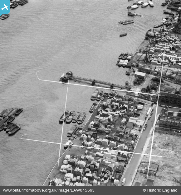
EAW045693 ENGLAND (1952). Trinity Wharf, Rotherhithe, 1952. This image was marked by Aerofilms Ltd for photo editing.
© Copyright OpenStreetMap contributors and licensed by the OpenStreetMap Foundation. 2026. Cartography is licensed as CC BY-SA.
Nearby Images (11)
EAW045693

EAW045691

EAW045689

EAW045690

EAW045697

EAW045696

EAW045694

EAW045692

EAW045695

EAW045685

EAW045683

Details
| Title | [EAW045693] Trinity Wharf, Rotherhithe, 1952. This image was marked by Aerofilms Ltd for photo editing. |
| Reference | EAW045693 |
| Date | 31-July-1952 |
| Link | |
| Place name | ROTHERHITHE |
| Parish | |
| District | |
| Country | ENGLAND |
| Easting / Northing | 536666, 179745 |
| Longitude / Latitude | -0.030851406684084, 51.499615455784 |
| National Grid Reference | TQ367797 |
Pins

Germander Speedwell |
Sunday 11th of November 2018 07:47:53 PM |