
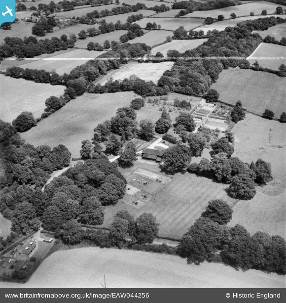
EAW044256 ENGLAND (1952). Bigges Farm, Staplefield, 1952. This image was marked by Aerofilms Ltd for photo editing.
© Copyright OpenStreetMap contributors and licensed by the OpenStreetMap Foundation. 2026. Cartography is licensed as CC BY-SA.
Nearby Images (9)
EAW044256

EAW044254

EAW044253

EAW044249

EAW044252

EAW044255

EAW044257

EAW044250

EAW044251

Details
| Title | [EAW044256] Bigges Farm, Staplefield, 1952. This image was marked by Aerofilms Ltd for photo editing. |
| Reference | EAW044256 |
| Date | 23-June-1952 |
| Link | |
| Place name | STAPLEFIELD |
| Parish | ANSTY AND STAPLEFIELD |
| District | |
| Country | ENGLAND |
| Easting / Northing | 528987, 127159 |
| Longitude / Latitude | -0.16040247036081, 51.028767811711 |
| National Grid Reference | TQ290272 |
Pins

totoro |
Friday 31st of July 2015 07:00:17 PM | |
|
totoro |
Friday 31st of July 2015 06:53:43 PM | |
|
totoro |
Friday 31st of July 2015 06:52:36 PM | |
|
totoro |
Friday 31st of July 2015 06:51:44 PM | |
|
totoro |
Friday 31st of July 2015 06:51:25 PM |