
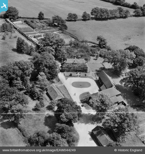
EAW044249 ENGLAND (1952). Bigges Farm, Staplefield, 1952. This image was marked by Aerofilms Ltd for photo editing.
© Copyright OpenStreetMap contributors and licensed by the OpenStreetMap Foundation. 2026. Cartography is licensed as CC BY-SA.
Nearby Images (9)
EAW044249

EAW044253

EAW044250

EAW044254

EAW044256

EAW044252

EAW044255

EAW044257

EAW044251

Details
| Title | [EAW044249] Bigges Farm, Staplefield, 1952. This image was marked by Aerofilms Ltd for photo editing. |
| Reference | EAW044249 |
| Date | 23-June-1952 |
| Link | |
| Place name | STAPLEFIELD |
| Parish | ANSTY AND STAPLEFIELD |
| District | |
| Country | ENGLAND |
| Easting / Northing | 529004, 127144 |
| Longitude / Latitude | -0.16016549177266, 51.028629166928 |
| National Grid Reference | TQ290271 |
Pins
Be the first to add a comment to this image!