
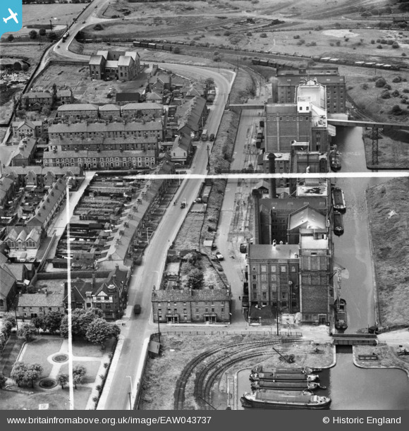
EAW043737 ENGLAND (1952). The Flour Mills on Lower Mersey Street, Ellesmere Port, 1952. This image was marked by Aerofilms Ltd for photo editing.
© Copyright OpenStreetMap contributors and licensed by the OpenStreetMap Foundation. 2026. Cartography is licensed as CC BY-SA.
Nearby Images (18)
EAW043737

EAW043731

EAW043734

EPW009278

EPW009276

EAW043738

EPW009275

EAW043732

EAW043735

EPW009274

EAW043730

EAW043733

EPW009279

EPW009280

EPW009281

EPW009277

EAW043736

EAW415732

Details
| Title | [EAW043737] The Flour Mills on Lower Mersey Street, Ellesmere Port, 1952. This image was marked by Aerofilms Ltd for photo editing. |
| Reference | EAW043737 |
| Date | 5-June-1952 |
| Link | |
| Place name | ELLESMERE PORT |
| Parish | |
| District | |
| Country | ENGLAND |
| Easting / Northing | 340238, 377338 |
| Longitude / Latitude | -2.8966052287637, 53.289359183943 |
| National Grid Reference | SJ402773 |
Pins

MB |
Wednesday 28th of May 2014 06:44:05 PM |