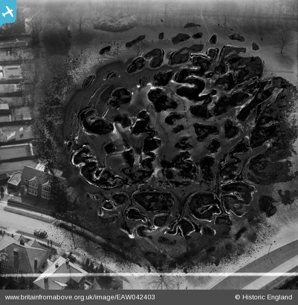
EAW042403 ENGLAND (1952). Whirlow Court (site of), Whirlow, 1952. This image has been produced from a damaged negative.
© Copyright OpenStreetMap contributors and licensed by the OpenStreetMap Foundation. 2025. Cartography is licensed as CC BY-SA.
Nearby Images (10)
Details
| Title | [EAW042403] Whirlow Court (site of), Whirlow, 1952. This image has been produced from a damaged negative. |
| Reference | EAW042403 |
| Date | 17-April-1952 |
| Link | |
| Place name | WHIRLOW |
| Parish | |
| District | |
| Country | ENGLAND |
| Easting / Northing | 431600, 382900 |
| Longitude / Latitude | -1.5253300141262, 53.341786121883 |
| National Grid Reference | SK316829 |
Pins
Be the first to add a comment to this image!


![[EAW042403] Whirlow Court (site of), Whirlow, 1952. This image has been produced from a damaged negative.](http://britainfromabove.org.uk/sites/all/libraries/aerofilms-images/public/100x100/EAW/042/EAW042403.jpg)
![[EAW042405] Whirlow Court, Whirlow, 1952. This image has been produced from a damaged negative.](http://britainfromabove.org.uk/sites/all/libraries/aerofilms-images/public/100x100/EAW/042/EAW042405.jpg)
![[EAW042404] Whirlow Court (site of), Whirlow, 1952. This image has been produced from a damaged negative.](http://britainfromabove.org.uk/sites/all/libraries/aerofilms-images/public/100x100/EAW/042/EAW042404.jpg)
![[EAW042408] Whirlow Court, Whirlow, 1952. This image was marked by Aerofilms Ltd for photo editing.](http://britainfromabove.org.uk/sites/all/libraries/aerofilms-images/public/100x100/EAW/042/EAW042408.jpg)
![[EAW042402] Whirlow Court, Whirlow, 1952. This image has been produced from a print marked by Aerofilms Ltd for photo editing.](http://britainfromabove.org.uk/sites/all/libraries/aerofilms-images/public/100x100/EAW/042/EAW042402.jpg)
![[EAW042401] Whirlow Court, Whirlow, 1952. This image has been produced from a print marked by Aerofilms Ltd for photo editing.](http://britainfromabove.org.uk/sites/all/libraries/aerofilms-images/public/100x100/EAW/042/EAW042401.jpg)
![[EAW042407] Whirlow Court and garden, Whirlow, 1952. This image was marked by Aerofilms Ltd for photo editing.](http://britainfromabove.org.uk/sites/all/libraries/aerofilms-images/public/100x100/EAW/042/EAW042407.jpg)
![[EPW020393] Snow around Whirlowdale Road, Whirlow, 1928](http://britainfromabove.org.uk/sites/all/libraries/aerofilms-images/public/100x100/EPW/020/EPW020393.jpg)
![[EPW020395] Housing in the snow around Whirlowdale Road, Whirlow, 1928](http://britainfromabove.org.uk/sites/all/libraries/aerofilms-images/public/100x100/EPW/020/EPW020395.jpg)
![[EPW020394] Housing in the snow around Whirlowdale Road, Whirlow, 1928](http://britainfromabove.org.uk/sites/all/libraries/aerofilms-images/public/100x100/EPW/020/EPW020394.jpg)