
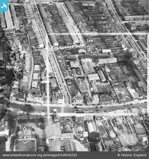
EAW042232 ENGLAND (1952). The Dunbar Cooperage off the High Road, Tottenham, 1952. This image has been produced from a damaged negative.
© Copyright OpenStreetMap contributors and licensed by the OpenStreetMap Foundation. 2026. Cartography is licensed as CC BY-SA.
Nearby Images (11)
EAW042232

EAW042231

EAW042233

EAW042238

EAW042235

EAW042236

EAW042237

EAW042230

EAW042240

EAW042239

EAW042234

Details
| Title | [EAW042232] The Dunbar Cooperage off the High Road, Tottenham, 1952. This image has been produced from a damaged negative. |
| Reference | EAW042232 |
| Date | 7-April-1952 |
| Link | |
| Place name | TOTTENHAM |
| Parish | |
| District | |
| Country | ENGLAND |
| Easting / Northing | 533957, 191621 |
| Longitude / Latitude | -0.065335686894211, 51.606997306516 |
| National Grid Reference | TQ340916 |


