
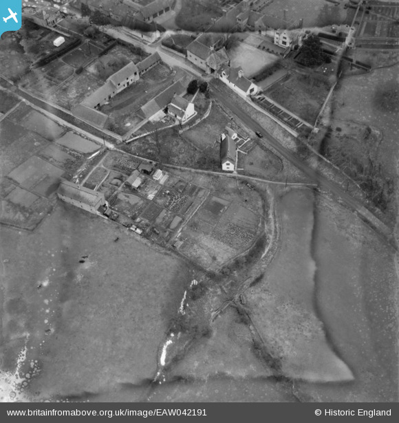
EAW042191 ENGLAND (1952). Allotments to the south of Billwell, Long Crendon, 1952
© Copyright OpenStreetMap contributors and licensed by the OpenStreetMap Foundation. 2026. Cartography is licensed as CC BY-SA.
Nearby Images (5)
EAW042191

EAW042179

EAW042189

EAW042178

EAW042190

Details
| Title | [EAW042191] Allotments to the south of Billwell, Long Crendon, 1952 |
| Reference | EAW042191 |
| Date | 3-April-1952 |
| Link | |
| Place name | LONG CRENDON |
| Parish | LONG CRENDON |
| District | |
| Country | ENGLAND |
| Easting / Northing | 469221, 208544 |
| Longitude / Latitude | -0.99669667875658, 51.770833466125 |
| National Grid Reference | SP692085 |
Pins
Be the first to add a comment to this image!