
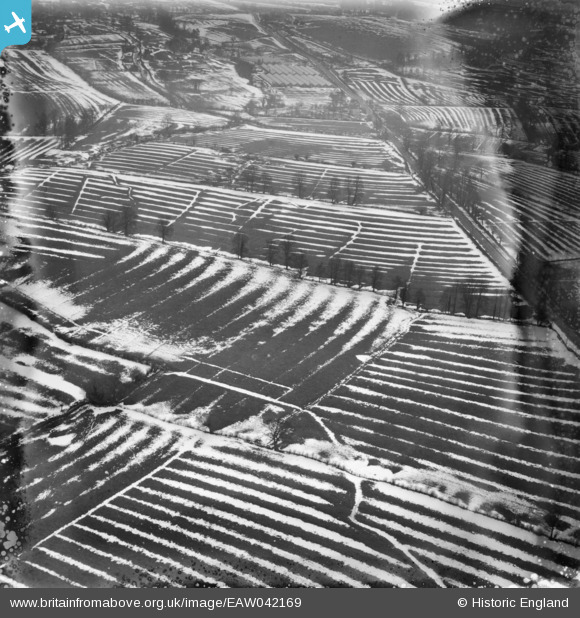
EAW042169 ENGLAND (1952). Snow in the fields around Brokene Street, Medbourne, 1952. This image has been produced from a damaged negative.
© Copyright OpenStreetMap contributors and licensed by the OpenStreetMap Foundation. 2026. Cartography is licensed as CC BY-SA.
Nearby Images (2)
EAW042169

EAW042166

Details
| Title | [EAW042169] Snow in the fields around Brokene Street, Medbourne, 1952. This image has been produced from a damaged negative. |
| Reference | EAW042169 |
| Date | 31-March-1952 |
| Link | |
| Place name | MEDBOURNE |
| Parish | LIDDINGTON |
| District | |
| Country | ENGLAND |
| Easting / Northing | 419433, 181626 |
| Longitude / Latitude | -1.7198091377359, 51.532726193451 |
| National Grid Reference | SU194816 |
Pins

K9-Q |
Tuesday 1st of December 2015 09:46:36 PM |