
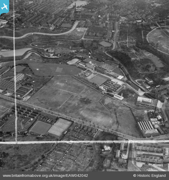
EAW042042 ENGLAND (1952). The Small and Parkes Ltd Hendham Vale Works and environs, Manchester, 1952. This image was marked by Aerofilms Ltd for photo editing.
© Copyright OpenStreetMap contributors and licensed by the OpenStreetMap Foundation. 2026. Cartography is licensed as CC BY-SA.
Nearby Images (41)
EAW042042

EAW042043

EAW042035

EAW042044

EAW042040

EAW042041

EAW042039

EAW042036

EAW042034

EAW042038

EAW042032

EAW042037

EAW042046

EAW041324

EPW060512

EPW060514

EPW060516

EAW042047

EAW041327

EPW060511

EAW042033

EAW042045

EAW041326

EPW045050

EPW060515

EPW054331

EAW041325

EPW045053

EPW054333

EPW060513

EPW045049

EPW054328

EPW054330

EPW045048

EPW045051

EPW054327

EPW054329

EPW045052

EPW054326

EPW060517

EPW054332

Details
| Title | [EAW042042] The Small and Parkes Ltd Hendham Vale Works and environs, Manchester, 1952. This image was marked by Aerofilms Ltd for photo editing. |
| Reference | EAW042042 |
| Date | 22-March-1952 |
| Link | |
| Place name | MANCHESTER |
| Parish | |
| District | |
| Country | ENGLAND |
| Easting / Northing | 385220, 401300 |
| Longitude / Latitude | -2.2228800744944, 53.507930514829 |
| National Grid Reference | SD852013 |
Pins
Be the first to add a comment to this image!