
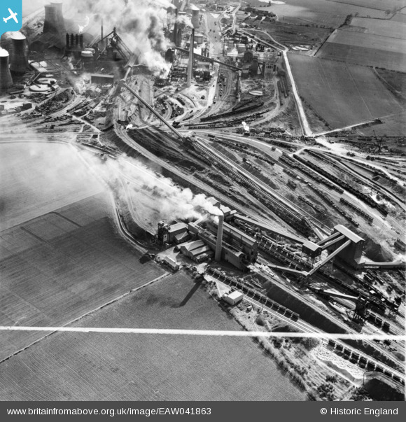
EAW041863 ENGLAND (1952). Part of the John Lysaght Normanby Park Steel Works, Scunthorpe, 1952. This image was marked by Aerofilms Ltd for photo editing.
© Copyright OpenStreetMap contributors and licensed by the OpenStreetMap Foundation. 2026. Cartography is licensed as CC BY-SA.
Nearby Images (21)
EAW041863

EPW048530

EPW048529

EAW041862

EAW041828

EAW031194

EAW013833

EAW041827

EAW021132

EAW019670

EAW019669

EAW041860

EAW016661

EAW019674

EAW013834

EAW041864

EAW009634

EAW028570

EAW013488

EAW021137

EAW009628

Details
| Title | [EAW041863] Part of the John Lysaght Normanby Park Steel Works, Scunthorpe, 1952. This image was marked by Aerofilms Ltd for photo editing. |
| Reference | EAW041863 |
| Date | 10-March-1952 |
| Link | |
| Place name | SCUNTHORPE |
| Parish | FLIXBOROUGH |
| District | |
| Country | ENGLAND |
| Easting / Northing | 488720, 414447 |
| Longitude / Latitude | -0.65857794493225, 53.618804525896 |
| National Grid Reference | SE887144 |
Pins
Be the first to add a comment to this image!