
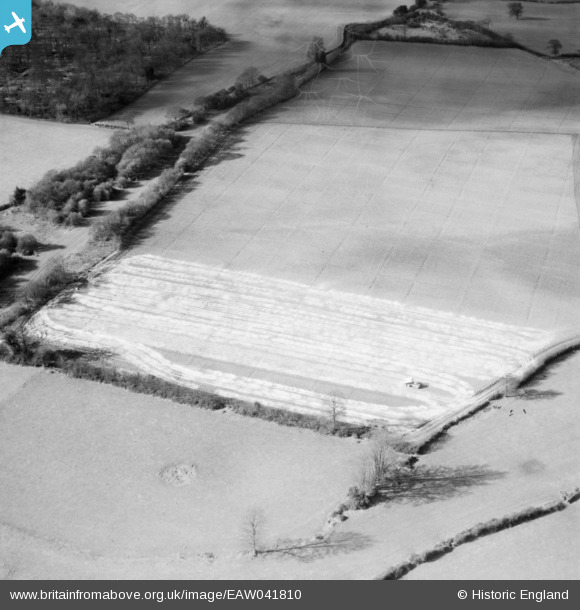
EAW041810 ENGLAND (1952). Lime-spreading near Holtsmere End Farm, Flamstead, 1952. This image has been produced from a damaged negative.
© Copyright OpenStreetMap contributors and licensed by the OpenStreetMap Foundation. 2026. Cartography is licensed as CC BY-SA.
Nearby Images (2)
EAW041810

EAW041809

Details
| Title | [EAW041810] Lime-spreading near Holtsmere End Farm, Flamstead, 1952. This image has been produced from a damaged negative. |
| Reference | EAW041810 |
| Date | 4-March-1952 |
| Link | |
| Place name | FLAMSTEAD |
| Parish | FLAMSTEAD |
| District | |
| Country | ENGLAND |
| Easting / Northing | 507740, 211450 |
| Longitude / Latitude | -0.43767602335561, 51.790865775425 |
| National Grid Reference | TL077115 |
Pins
Be the first to add a comment to this image!