
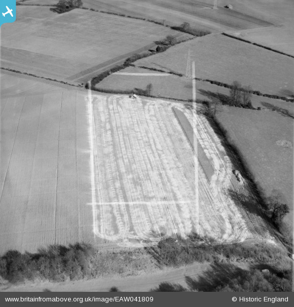
EAW041809 ENGLAND (1952). Lime-spreading near Holtsmere End Farm, Flamstead, 1952. This image was marked by Aerofilms Ltd for photo editing.
© Copyright OpenStreetMap contributors and licensed by the OpenStreetMap Foundation. 2026. Cartography is licensed as CC BY-SA.
Nearby Images (2)
EAW041809

EAW041810

Details
| Title | [EAW041809] Lime-spreading near Holtsmere End Farm, Flamstead, 1952. This image was marked by Aerofilms Ltd for photo editing. |
| Reference | EAW041809 |
| Date | 4-March-1952 |
| Link | |
| Place name | FLAMSTEAD |
| Parish | FLAMSTEAD |
| District | |
| Country | ENGLAND |
| Easting / Northing | 507752, 211454 |
| Longitude / Latitude | -0.43750083997165, 51.79089941849 |
| National Grid Reference | TL078115 |
Pins
Be the first to add a comment to this image!