
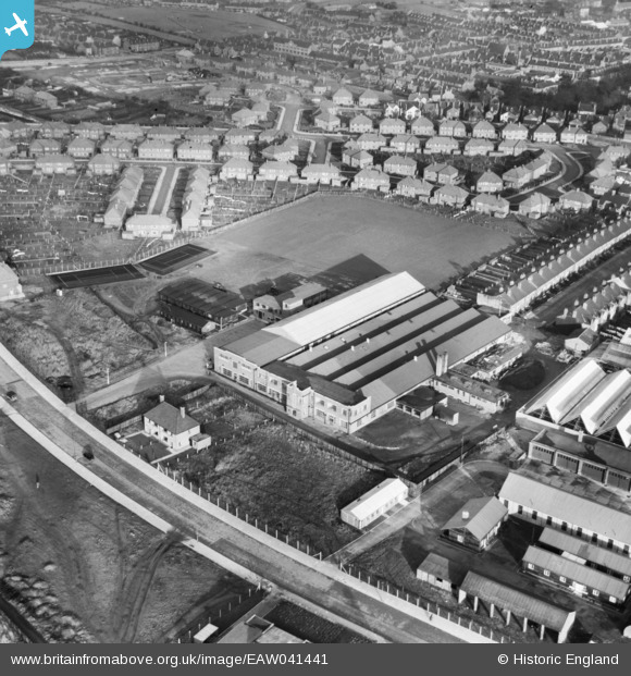
EAW041441 ENGLAND (1951). Mansfield Hosiery Mills Ltd Works, Mansfield, 1951
© Copyright OpenStreetMap contributors and licensed by the OpenStreetMap Foundation. 2026. Cartography is licensed as CC BY-SA.
Nearby Images (9)
EAW041441

EAW041438

EAW041437

EAW041440

EAW041436

EAW041439

EAW041443

EAW041442

EAW041444

Details
| Title | [EAW041441] Mansfield Hosiery Mills Ltd Works, Mansfield, 1951 |
| Reference | EAW041441 |
| Date | 27-December-1951 |
| Link | |
| Place name | MANSFIELD |
| Parish | |
| District | |
| Country | ENGLAND |
| Easting / Northing | 452908, 360839 |
| Longitude / Latitude | -1.208950390826, 53.141777806574 |
| National Grid Reference | SK529608 |
Pins

james hoare |
Thursday 11th of September 2025 06:53:09 PM |