
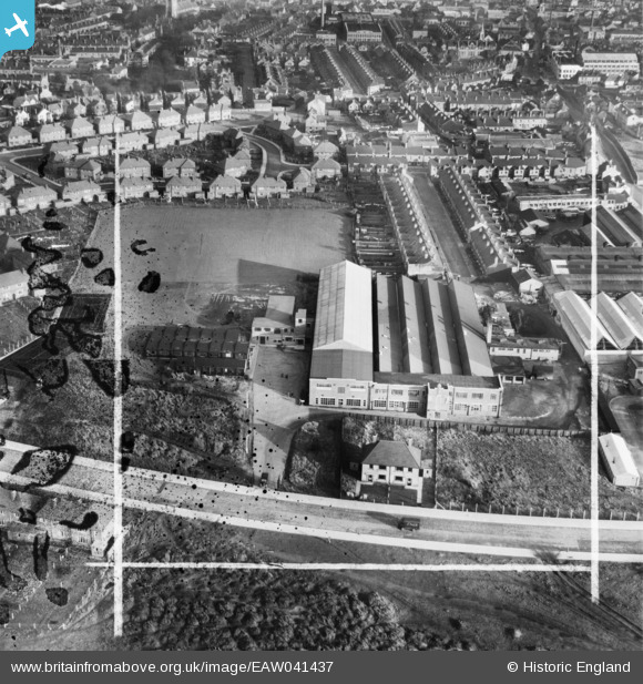
EAW041437 ENGLAND (1951). Mansfield Hosiery Mills Ltd Works, Mansfield, 1951. This image has been produced from a damaged negative.
© Copyright OpenStreetMap contributors and licensed by the OpenStreetMap Foundation. 2026. Cartography is licensed as CC BY-SA.
Nearby Images (9)
EAW041437

EAW041438

EAW041441

EAW041440

EAW041436

EAW041442

EAW041439

EAW041443

EAW041444

Details
| Title | [EAW041437] Mansfield Hosiery Mills Ltd Works, Mansfield, 1951. This image has been produced from a damaged negative. |
| Reference | EAW041437 |
| Date | 27-December-1951 |
| Link | |
| Place name | MANSFIELD |
| Parish | |
| District | |
| Country | ENGLAND |
| Easting / Northing | 452900, 360846 |
| Longitude / Latitude | -1.2090688337585, 53.141841524994 |
| National Grid Reference | SK529608 |
Pins
Be the first to add a comment to this image!