
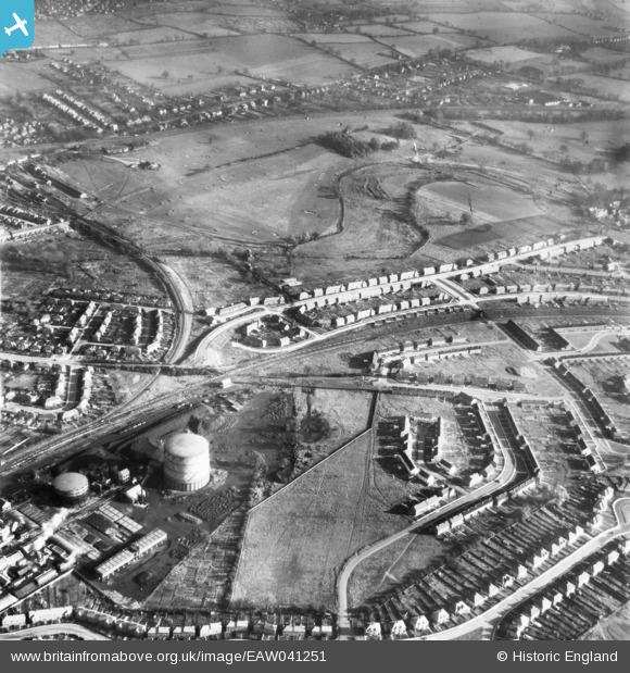
EAW041251 ENGLAND (1951). The Gas Works and development of housing at Maynard Drive and Berners Drive, Sopwell, 1951
© Copyright OpenStreetMap contributors and licensed by the OpenStreetMap Foundation. 2026. Cartography is licensed as CC BY-SA.
Nearby Images (3)
EAW041251

EAW030953

EAW030951

Details
| Title | [EAW041251] The Gas Works and development of housing at Maynard Drive and Berners Drive, Sopwell, 1951 |
| Reference | EAW041251 |
| Date | 14-November-1951 |
| Link | |
| Place name | SOPWELL |
| Parish | |
| District | |
| Country | ENGLAND |
| Easting / Northing | 515057, 205958 |
| Longitude / Latitude | -0.3334392783479, 51.740044739544 |
| National Grid Reference | TL151060 |
Pins

Sandyn |
Saturday 21st of August 2021 04:57:07 PM |