
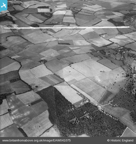
EAW041075 ENGLAND (1951). The Head's Farm Estate, Chaddleworth Common Copse and surrounding downland, Chaddleworth, 1951. This image was marked by Aerofilms Ltd for photo editing.
© Copyright OpenStreetMap contributors and licensed by the OpenStreetMap Foundation. 2026. Cartography is licensed as CC BY-SA.
Nearby Images (4)
EAW041075

EAW041072

EAW041073

EAW041074

Details
| Title | [EAW041075] The Head's Farm Estate, Chaddleworth Common Copse and surrounding downland, Chaddleworth, 1951. This image was marked by Aerofilms Ltd for photo editing. |
| Reference | EAW041075 |
| Date | 23-October-1951 |
| Link | |
| Place name | CHADDLEWORTH |
| Parish | CHADDLEWORTH |
| District | |
| Country | ENGLAND |
| Easting / Northing | 440502, 176864 |
| Longitude / Latitude | -1.4165896901749, 51.488787526199 |
| National Grid Reference | SU405769 |
Pins
Be the first to add a comment to this image!