
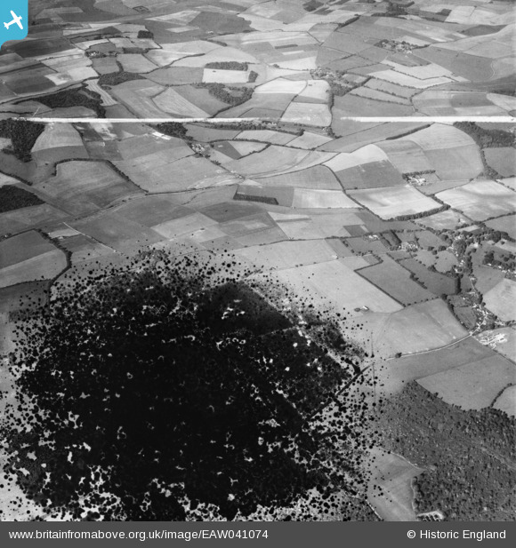
EAW041074 ENGLAND (1951). The Head's Farm Estate and surrounding downland, Chaddleworth, 1951. This image has been produced from a damaged negative.
© Copyright OpenStreetMap contributors and licensed by the OpenStreetMap Foundation. 2026. Cartography is licensed as CC BY-SA.
Nearby Images (4)
EAW041074

EAW041073

EAW041072

EAW041075

Details
| Title | [EAW041074] The Head's Farm Estate and surrounding downland, Chaddleworth, 1951. This image has been produced from a damaged negative. |
| Reference | EAW041074 |
| Date | 23-October-1951 |
| Link | |
| Place name | CHADDLEWORTH |
| Parish | CHADDLEWORTH |
| District | |
| Country | ENGLAND |
| Easting / Northing | 440410, 177096 |
| Longitude / Latitude | -1.4178882617844, 51.490880267789 |
| National Grid Reference | SU404771 |
Pins
Be the first to add a comment to this image!