
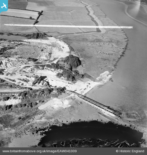
EAW041009 ENGLAND (1951). The jetty by Freshwater Gravel Pit, Fingringhoe, 1951. This image has been produced from a damaged negative.
© Copyright OpenStreetMap contributors and licensed by the OpenStreetMap Foundation. 2026. Cartography is licensed as CC BY-SA.
Nearby Images (2)
EAW041009

EAW041008

Details
| Title | [EAW041009] The jetty by Freshwater Gravel Pit, Fingringhoe, 1951. This image has been produced from a damaged negative. |
| Reference | EAW041009 |
| Date | 23-October-1951 |
| Link | |
| Place name | FINGRINGHOE |
| Parish | FINGRINGHOE |
| District | |
| Country | ENGLAND |
| Easting / Northing | 605122, 219372 |
| Longitude / Latitude | 0.97757021267565, 51.834783748562 |
| National Grid Reference | TM051194 |
Pins
Be the first to add a comment to this image!