
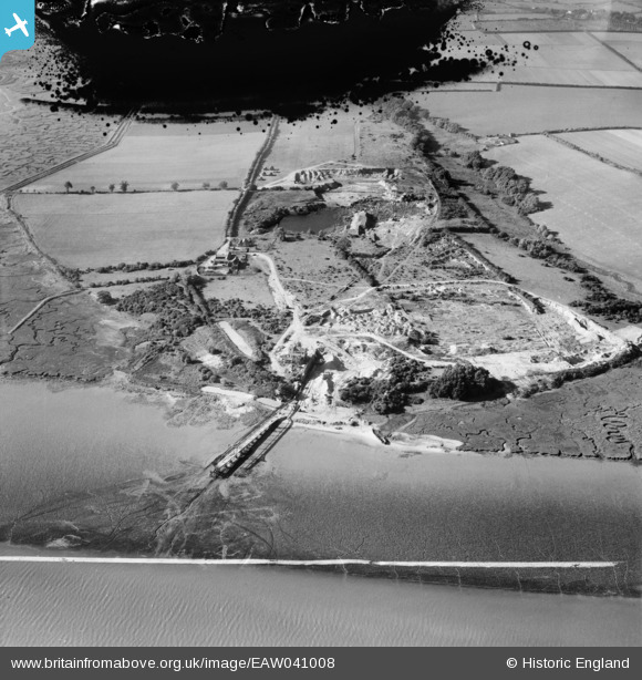
EAW041008 ENGLAND (1951). Freshwater Gravel Pit, Fingringhoe, 1951. This image has been produced from a damaged negative.
© Copyright OpenStreetMap contributors and licensed by the OpenStreetMap Foundation. 2026. Cartography is licensed as CC BY-SA.
Nearby Images (3)
EAW041008

EAW041010

EAW041009

Details
| Title | [EAW041008] Freshwater Gravel Pit, Fingringhoe, 1951. This image has been produced from a damaged negative. |
| Reference | EAW041008 |
| Date | 23-October-1951 |
| Link | |
| Place name | FINGRINGHOE |
| Parish | FINGRINGHOE |
| District | |
| Country | ENGLAND |
| Easting / Northing | 604950, 219331 |
| Longitude / Latitude | 0.97505279489556, 51.834478713272 |
| National Grid Reference | TM050193 |
Pins
Be the first to add a comment to this image!