
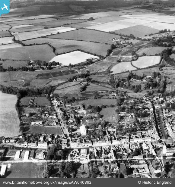
EAW040892 ENGLAND (1951). The town centre, New Alresford, 1951. This image has been produced from a print marked by Aerofilms Ltd for photo editing.
© Copyright OpenStreetMap contributors and licensed by the OpenStreetMap Foundation. 2026. Cartography is licensed as CC BY-SA.
Nearby Images (3)
EAW040892

EPW032306

EAW040890

Details
| Title | [EAW040892] The town centre, New Alresford, 1951. This image has been produced from a print marked by Aerofilms Ltd for photo editing. |
| Reference | EAW040892 |
| Date | 19-October-1951 |
| Link | |
| Place name | NEW ALRESFORD |
| Parish | NEW ALRESFORD |
| District | |
| Country | ENGLAND |
| Easting / Northing | 458517, 133024 |
| Longitude / Latitude | -1.1643052889254, 51.093006470229 |
| National Grid Reference | SU585330 |
Pins
Be the first to add a comment to this image!