
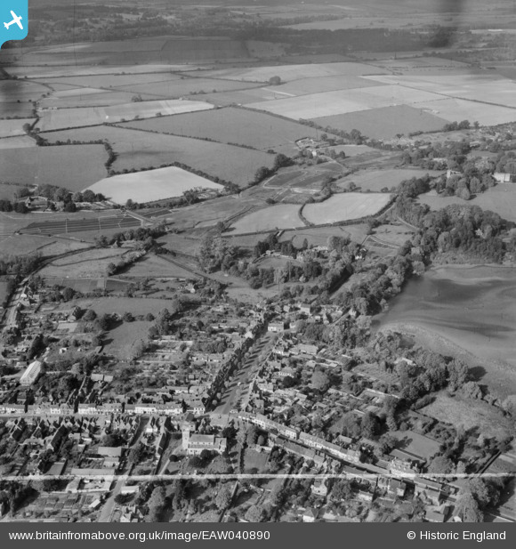
EAW040890 ENGLAND (1951). New Alresford town and the area around Weir House, Old Alresford, 1951. This image was marked by Aerofilms Ltd for photo editing.
© Copyright OpenStreetMap contributors and licensed by the OpenStreetMap Foundation. 2026. Cartography is licensed as CC BY-SA.
Nearby Images (2)
EAW040890

EAW040892

Details
| Title | [EAW040890] New Alresford town and the area around Weir House, Old Alresford, 1951. This image was marked by Aerofilms Ltd for photo editing. |
| Reference | EAW040890 |
| Date | 19-October-1951 |
| Link | |
| Place name | OLD ALRESFORD |
| Parish | OLD ALRESFORD |
| District | |
| Country | ENGLAND |
| Easting / Northing | 458661, 133145 |
| Longitude / Latitude | -1.1622293658041, 51.094079806835 |
| National Grid Reference | SU587331 |
Pins
Be the first to add a comment to this image!