
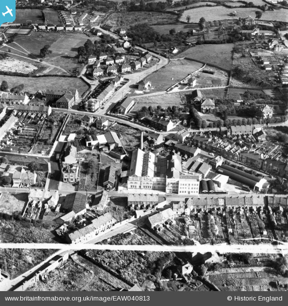
EAW040813 ENGLAND (1951). T. Lucas and Co Ltd Ruskit Flour Mills and environs, Kingswood, 1951. This image has been produced from a print marked by Aerofilms Ltd for photo editing.
© Copyright OpenStreetMap contributors and licensed by the OpenStreetMap Foundation. 2026. Cartography is licensed as CC BY-SA.
Nearby Images (13)
EAW040813

EAW040811

EAW040816

EAW040817

EAW040818

EAW040812

EAW040810

EAW040814

EAW040815

EPW016943

EPW016944

EAW002033
 Ltd Motorcycle Factory and Sports Ground, Kingswood, 1946")
EPW016947

Details
| Title | [EAW040813] T. Lucas and Co Ltd Ruskit Flour Mills and environs, Kingswood, 1951. This image has been produced from a print marked by Aerofilms Ltd for photo editing. |
| Reference | EAW040813 |
| Date | 13-October-1951 |
| Link | |
| Place name | KINGSWOOD |
| Parish | |
| District | |
| Country | ENGLAND |
| Easting / Northing | 364919, 173462 |
| Longitude / Latitude | -2.5049892451983, 51.458558483043 |
| National Grid Reference | ST649735 |
Pins
Be the first to add a comment to this image!