
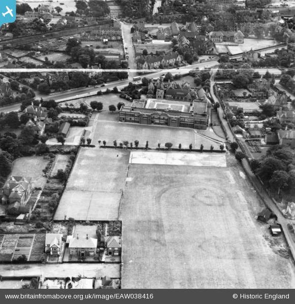
EAW038416 ENGLAND (1951). Queen Elizabeth's Grammar School for Girls and adjacent playing fields, Mansfield, 1951. This image has been produced from a print marked by Aerofilms Ltd for photo editing.
© Copyright OpenStreetMap contributors and licensed by the OpenStreetMap Foundation. 2026. Cartography is licensed as CC BY-SA.
Nearby Images (5)
EAW038416

EAW038414

EAW038415

EAW038413

EAW038417

Details
| Title | [EAW038416] Queen Elizabeth's Grammar School for Girls and adjacent playing fields, Mansfield, 1951. This image has been produced from a print marked by Aerofilms Ltd for photo editing. |
| Reference | EAW038416 |
| Date | 2-August-1951 |
| Link | |
| Place name | MANSFIELD |
| Parish | |
| District | |
| Country | ENGLAND |
| Easting / Northing | 453866, 361804 |
| Longitude / Latitude | -1.1944661618471, 53.150356297089 |
| National Grid Reference | SK539618 |
Pins

Peter Moss |
Tuesday 10th of February 2015 12:42:54 PM | |
|
Peter Moss |
Tuesday 10th of February 2015 12:37:50 PM |