
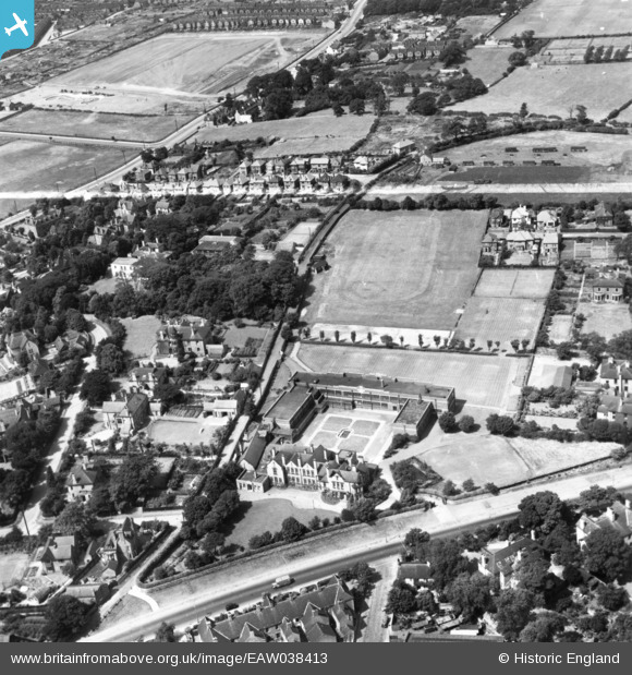
EAW038413 ENGLAND (1951). Queen Elizabeth's Grammar School for Girls and adjacent playing fields, Mansfield, 1951. This image has been produced from a print marked by Aerofilms Ltd for photo editing.
© Copyright OpenStreetMap contributors and licensed by the OpenStreetMap Foundation. 2026. Cartography is licensed as CC BY-SA.
Nearby Images (5)
EAW038413

EAW038414

EAW038415

EAW038416

EAW038417

Details
| Title | [EAW038413] Queen Elizabeth's Grammar School for Girls and adjacent playing fields, Mansfield, 1951. This image has been produced from a print marked by Aerofilms Ltd for photo editing. |
| Reference | EAW038413 |
| Date | 2-August-1951 |
| Link | |
| Place name | MANSFIELD |
| Parish | |
| District | |
| Country | ENGLAND |
| Easting / Northing | 453812, 361784 |
| Longitude / Latitude | -1.1952769737003, 53.150181973715 |
| National Grid Reference | SK538618 |
Pins
Be the first to add a comment to this image!