
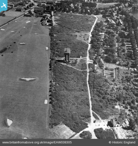
EAW038305 ENGLAND (1951). The House in the Clouds, Thorpeness, 1951. This image has been produced from a print.
© Copyright OpenStreetMap contributors and licensed by the OpenStreetMap Foundation. 2026. Cartography is licensed as CC BY-SA.
Nearby Images (6)
EAW038305

EAW038306

EAW038353

EAW038336

EAW038352

EPW001910

Details
| Title | [EAW038305] The House in the Clouds, Thorpeness, 1951. This image has been produced from a print. |
| Reference | EAW038305 |
| Date | 2-August-1951 |
| Link | |
| Place name | THORPENESS |
| Parish | ALDRINGHAM CUM THORPE |
| District | |
| Country | ENGLAND |
| Easting / Northing | 646824, 259877 |
| Longitude / Latitude | 1.6109183446426, 52.181411240825 |
| National Grid Reference | TM468599 |
Pins

holidayinsuffolk |
Sunday 23rd of November 2014 09:44:52 AM | |
|
holidayinsuffolk |
Sunday 23rd of November 2014 09:44:08 AM | |
|
holidayinsuffolk |
Sunday 23rd of November 2014 09:43:00 AM | |
|
holidayinsuffolk |
Sunday 23rd of November 2014 09:41:11 AM |