
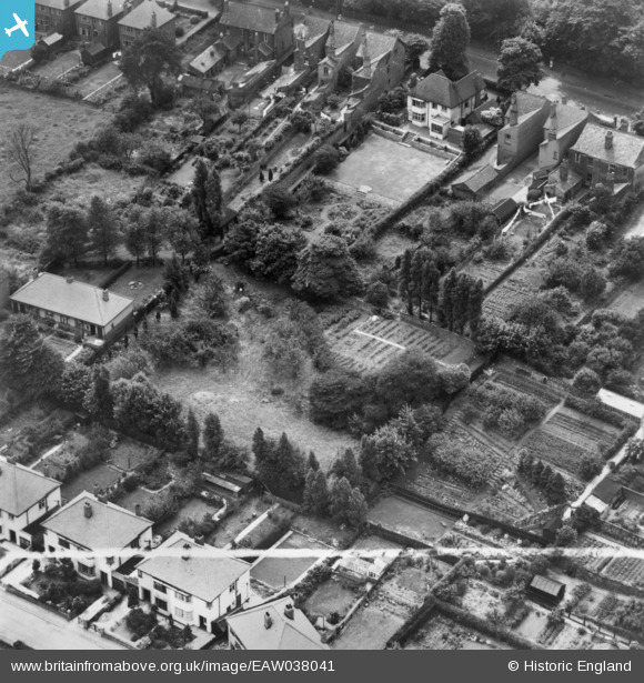
EAW038041 ENGLAND (1951). Houses and gardens between Dudley Road and Richmond Road, Sedgley, 1951. This image has been produced from a print marked by Aerofilms Ltd for photo editing.
© Copyright OpenStreetMap contributors and licensed by the OpenStreetMap Foundation. 2026. Cartography is licensed as CC BY-SA.
Nearby Images (7)
EAW038041

EAW038042

EAW038043

EAW038040

EAW038044

EAW038045

EAW038039

Details
| Title | [EAW038041] Houses and gardens between Dudley Road and Richmond Road, Sedgley, 1951. This image has been produced from a print marked by Aerofilms Ltd for photo editing. |
| Reference | EAW038041 |
| Date | 24-July-1951 |
| Link | |
| Place name | SEDGLEY |
| Parish | |
| District | |
| Country | ENGLAND |
| Easting / Northing | 392095, 293271 |
| Longitude / Latitude | -2.1165590267352, 52.536880307561 |
| National Grid Reference | SO921933 |
Pins
Be the first to add a comment to this image!