
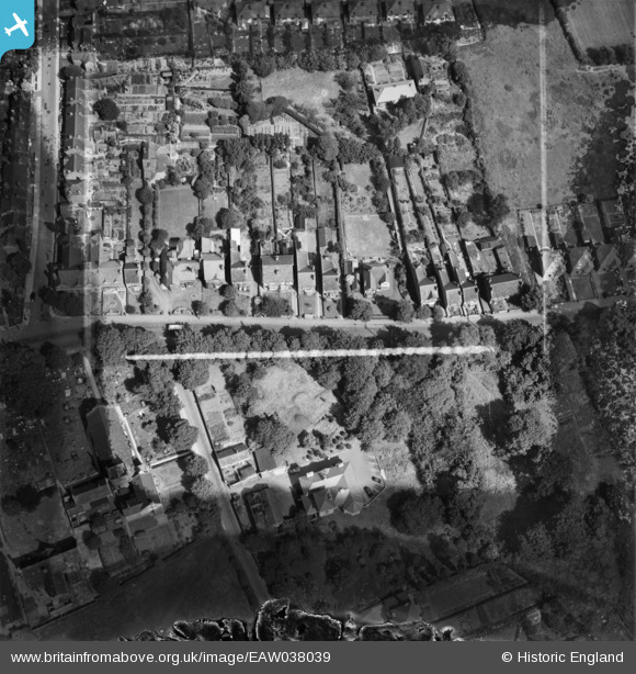
EAW038039 ENGLAND (1951). Houses off Dudley Road, Sedgley, 1951. This image has been produced from a damaged negative.
© Copyright OpenStreetMap contributors and licensed by the OpenStreetMap Foundation. 2026. Cartography is licensed as CC BY-SA.
Nearby Images (7)
EAW038039

EAW038045

EAW038044

EAW038040

EAW038043

EAW038042

EAW038041

Details
| Title | [EAW038039] Houses off Dudley Road, Sedgley, 1951. This image has been produced from a damaged negative. |
| Reference | EAW038039 |
| Date | 24-July-1951 |
| Link | |
| Place name | SEDGLEY |
| Parish | |
| District | |
| Country | ENGLAND |
| Easting / Northing | 392009, 293265 |
| Longitude / Latitude | -2.1178269472683, 52.536825106806 |
| National Grid Reference | SO920933 |
Pins

Class31 |
Friday 27th of February 2015 07:45:56 PM |