
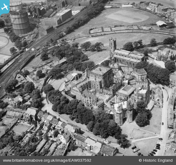
EAW037592 ENGLAND (1951). Lancaster Castle and St Mary's Church, Lancaster, 1951
© Copyright OpenStreetMap contributors and licensed by the OpenStreetMap Foundation. 2026. Cartography is licensed as CC BY-SA.
Nearby Images (15)
EAW037592

EAW003570

EPW042027

EAW005629

EPW029178

EAW005630

EAW005632

EAW005633

EPW042028

EAW005631

EPW002092

EPW026404

EAW023386

EAW023385

EPW002086

Details
| Title | [EAW037592] Lancaster Castle and St Mary's Church, Lancaster, 1951 |
| Reference | EAW037592 |
| Date | 30-June-1951 |
| Link | |
| Place name | LANCASTER |
| Parish | |
| District | |
| Country | ENGLAND |
| Easting / Northing | 347338, 461851 |
| Longitude / Latitude | -2.8044373854837, 54.049743487089 |
| National Grid Reference | SD473619 |
Pins

John Wass |
Saturday 19th of August 2017 02:58:18 PM |