
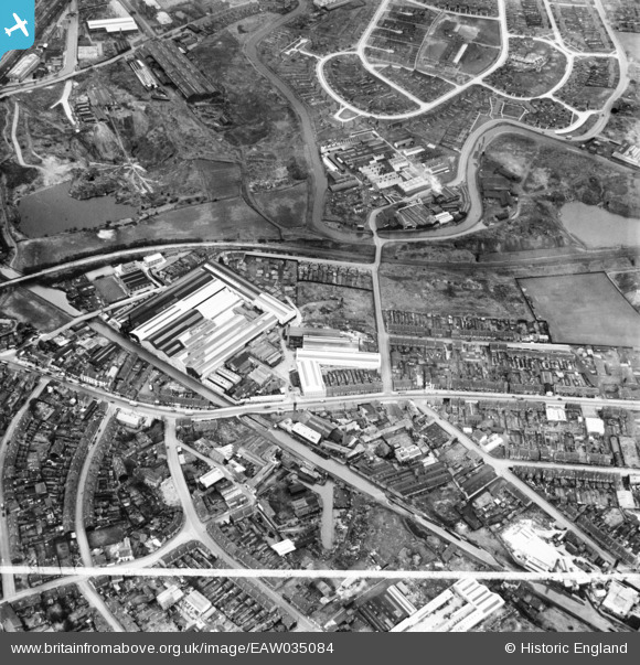
EAW035084 ENGLAND (1951). Great Bridge Street and environs, Tipton, 1951. This image was marked by Aerofilms Ltd for photo editing.
© Copyright OpenStreetMap contributors and licensed by the OpenStreetMap Foundation. 2026. Cartography is licensed as CC BY-SA.
Nearby Images (17)
EAW035084

EAW035083

EAW035091

EAW035092

EAW035089

EAW035088

EAW035085

EAW035086

EAW035077

EAW035078

EAW035076

EAW035081

EAW035079

EAW035080

EAW035087

EAW035090

EAW035082

Details
| Title | [EAW035084] Great Bridge Street and environs, Tipton, 1951. This image was marked by Aerofilms Ltd for photo editing. |
| Reference | EAW035084 |
| Date | 21-March-1951 |
| Link | |
| Place name | TIPTON |
| Parish | |
| District | |
| Country | ENGLAND |
| Easting / Northing | 398194, 292485 |
| Longitude / Latitude | -2.0266251784751, 52.529867827781 |
| National Grid Reference | SO982925 |
