
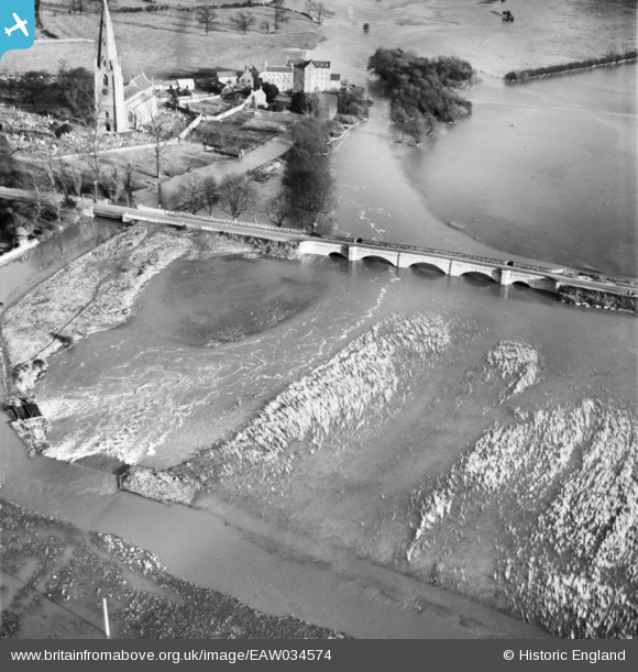
EAW034574 ENGLAND (1951). The River Great Ouse in flood at Olney Bridge, Emberton, 1951
© Copyright OpenStreetMap contributors and licensed by the OpenStreetMap Foundation. 2026. Cartography is licensed as CC BY-SA.
Nearby Images (8)
EAW034574

EAW034575

EPW034325

EAW034576

EPW034449

EPW034324

EPW028996

EPW028994

Details
| Title | [EAW034574] The River Great Ouse in flood at Olney Bridge, Emberton, 1951 |
| Reference | EAW034574 |
| Date | 6-February-1951 |
| Link | |
| Place name | EMBERTON |
| Parish | EMBERTON |
| District | |
| Country | ENGLAND |
| Easting / Northing | 488795, 250895 |
| Longitude / Latitude | -0.70210640191738, 52.148785250342 |
| National Grid Reference | SP888509 |
Pins

melgibbs |
Wednesday 4th of March 2015 08:46:32 PM | |

Richard Dawson |
Friday 26th of September 2014 12:50:58 PM |