
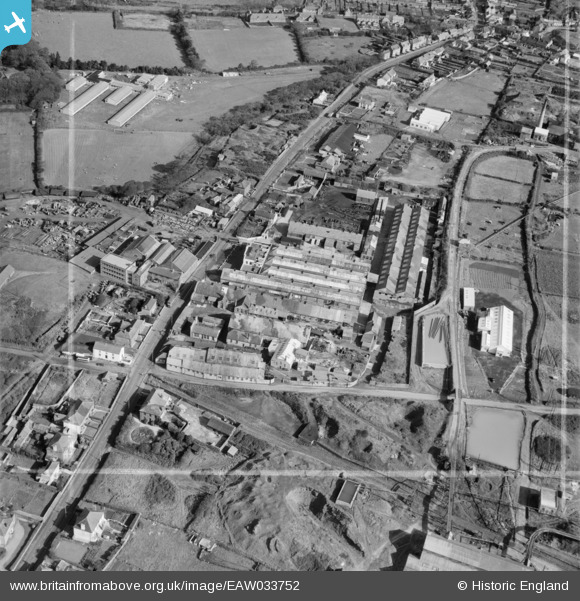
EAW033752 ENGLAND (1950). The Climax Rock Drill and Engineering Works, Carn Brea, 1950. This image was marked by Aerofilms Ltd for photo editing.
© Copyright OpenStreetMap contributors and licensed by the OpenStreetMap Foundation. 2026. Cartography is licensed as CC BY-SA.
Nearby Images (28)
EAW033752

EPW059616

EAW033743

EPW059610

EAW033745

EAW033750

EAW033751

EPW059613

EPW059618

EAW033744

EAW033742

EPW009925

EAW033746

EAW033747

EPW059611

EPW059614

EPW059609

EPW009918

EPW009920

EPW059612

EPW009919

EAW033749

EPW009921

EPW009924

EAW033748

EPW009923

EPW009922

EPW059615

Details
| Title | [EAW033752] The Climax Rock Drill and Engineering Works, Carn Brea, 1950. This image was marked by Aerofilms Ltd for photo editing. |
| Reference | EAW033752 |
| Date | 16-October-1950 |
| Link | |
| Place name | CARN BREA |
| Parish | CARN BREA |
| District | |
| Country | ENGLAND |
| Easting / Northing | 166425, 41268 |
| Longitude / Latitude | -5.2750827568818, 50.224590730159 |
| National Grid Reference | SW664413 |
Pins

Sparky |
Thursday 7th of September 2017 06:42:20 PM |