
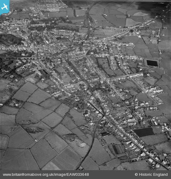
EAW033648 ENGLAND (1950). Falmouth Road, Clinton Road, Albany Road and the town, Redruth, 1950
© Copyright OpenStreetMap contributors and licensed by the OpenStreetMap Foundation. 2026. Cartography is licensed as CC BY-SA.
Nearby Images (3)
EAW033648

EPW009901

EPW039788

Details
| Title | [EAW033648] Falmouth Road, Clinton Road, Albany Road and the town, Redruth, 1950 |
| Reference | EAW033648 |
| Date | 12-October-1950 |
| Link | |
| Place name | REDRUTH |
| Parish | REDRUTH |
| District | |
| Country | ENGLAND |
| Easting / Northing | 170159, 41569 |
| Longitude / Latitude | -5.2229972570525, 50.228756696725 |
| National Grid Reference | SW702416 |


