
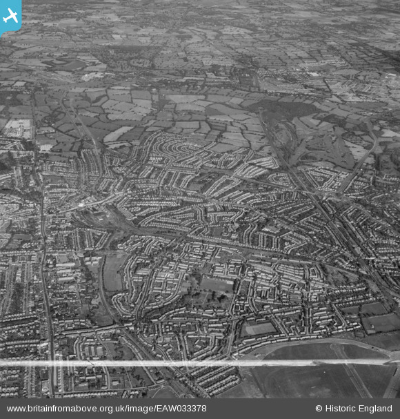
EAW033378 ENGLAND (1950). Burnt Oak, Edgware and environs, Burnt Oak, from the south-east, 1950. This image was marked by Aerofilms Ltd for photo editing.
© Copyright OpenStreetMap contributors and licensed by the OpenStreetMap Foundation. 2026. Cartography is licensed as CC BY-SA.
Nearby Images (6)
EAW033378

EAW027668
 in flight over the Watling Park area, Burnt Oak, from the west, 1949")
EPW008004

EAW033379

EAW033372

EAW033376

Details
| Title | [EAW033378] Burnt Oak, Edgware and environs, Burnt Oak, from the south-east, 1950. This image was marked by Aerofilms Ltd for photo editing. |
| Reference | EAW033378 |
| Date | 10-October-1950 |
| Link | |
| Place name | BURNT OAK |
| Parish | |
| District | |
| Country | ENGLAND |
| Easting / Northing | 520563, 191250 |
| Longitude / Latitude | -0.25880363419361, 51.606690496335 |
| National Grid Reference | TQ206913 |
Pins

Class31 |
Wednesday 30th of April 2014 10:38:25 AM |
