
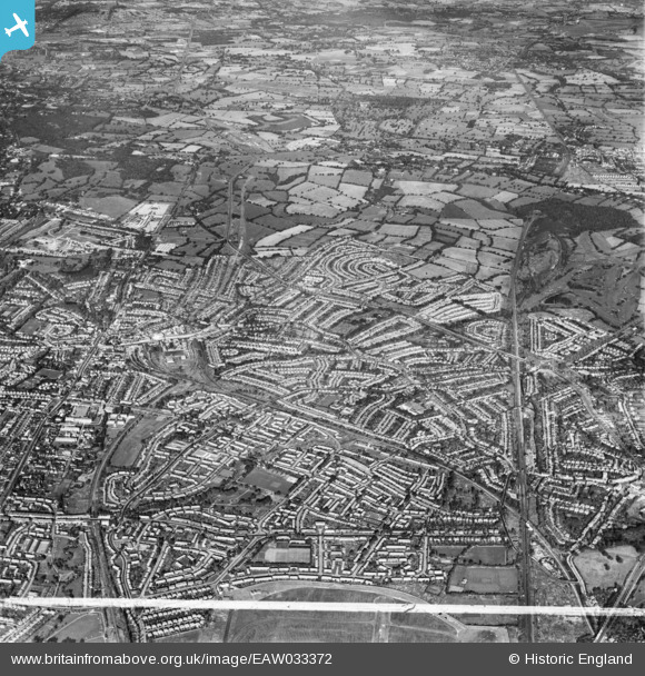
EAW033372 ENGLAND (1950). Burnt Oak, Edgware and environs, Burnt Oak, from the south-east, 1950. This image was marked by Aerofilms Ltd for photo editing.
© Copyright OpenStreetMap contributors and licensed by the OpenStreetMap Foundation. 2026. Cartography is licensed as CC BY-SA.
Nearby Images (3)
EAW033372

EAW027668
 in flight over the Watling Park area, Burnt Oak, from the west, 1949")
EAW033378

Details
| Title | [EAW033372] Burnt Oak, Edgware and environs, Burnt Oak, from the south-east, 1950. This image was marked by Aerofilms Ltd for photo editing. |
| Reference | EAW033372 |
| Date | 10-October-1950 |
| Link | |
| Place name | BURNT OAK |
| Parish | |
| District | |
| Country | ENGLAND |
| Easting / Northing | 520703, 191452 |
| Longitude / Latitude | -0.25671317468538, 51.608476109497 |
| National Grid Reference | TQ207915 |


