
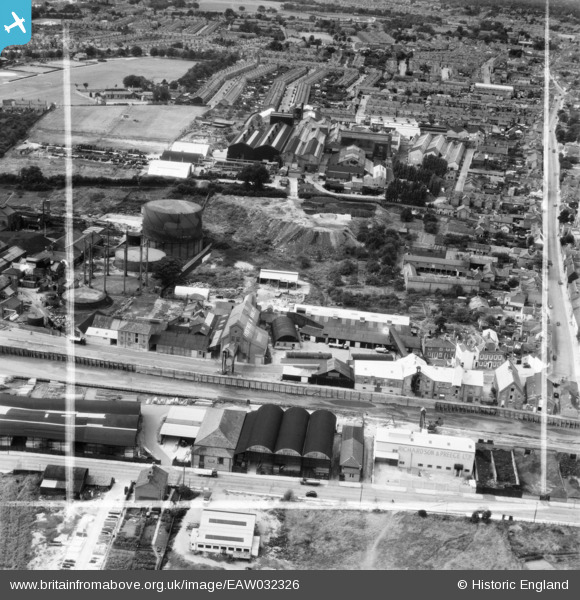
EAW032326 ENGLAND (1950). Frank Pertwee and Sons Ltd Granaries off Hythe Quay and the Standard Iron Works, Colchester, 1950. This image was marked by Aerofilms Ltd for photo editing.
© Copyright OpenStreetMap contributors and licensed by the OpenStreetMap Foundation. 2026. Cartography is licensed as CC BY-SA.
Nearby Images (23)
EAW032326

EAW032331

EAW032316

EAW032333

EAW032328

EAW032319

EAW032329

EAW032317

EAW032320

EAW032332

EAW032318

EAW032334

EAW032324

EAW032327

EAW032323

EAW032325

EAW032322

EAW032321

EAW032335

EAW032330

EPW046368

EPW046371

EPW046370

Details
| Title | [EAW032326] Frank Pertwee and Sons Ltd Granaries off Hythe Quay and the Standard Iron Works, Colchester, 1950. This image was marked by Aerofilms Ltd for photo editing. |
| Reference | EAW032326 |
| Date | 6-September-1950 |
| Link | |
| Place name | COLCHESTER |
| Parish | |
| District | |
| Country | ENGLAND |
| Easting / Northing | 601409, 224553 |
| Longitude / Latitude | 0.92676837563389, 51.882661572261 |
| National Grid Reference | TM014246 |
Pins

Sparky |
Wednesday 6th of September 2017 07:18:13 PM |