
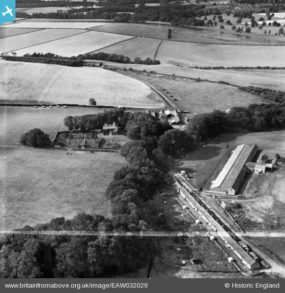
EAW032029 ENGLAND (1950). The hamlet, West Learmouth, 1950. This image has been produced from a print marked by Aerofilms Ltd for photo editing.
© Copyright OpenStreetMap contributors and licensed by the OpenStreetMap Foundation. 2026. Cartography is licensed as CC BY-SA.
Nearby Images (6)
EAW032029

EAW032028

EAW032030
, West Learmouth, 1950. This image has been produced from a damaged negative.")
EAW032031
, West Learmouth, 1950. This image has been produced from a damaged negative.")
EAW032014

EAW032013

Details
| Title | [EAW032029] The hamlet, West Learmouth, 1950. This image has been produced from a print marked by Aerofilms Ltd for photo editing. |
| Reference | EAW032029 |
| Date | 19-August-1950 |
| Link | |
| Place name | WEST LEARMOUTH |
| Parish | CARHAM |
| District | |
| Country | ENGLAND |
| Easting / Northing | 384953, 637640 |
| Longitude / Latitude | -2.239020258508, 55.632096511394 |
| National Grid Reference | NT850376 |
Pins
Be the first to add a comment to this image!