
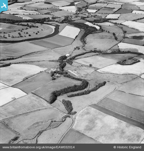
EAW032014 ENGLAND (1950). Willow Burn, Kippie Hill and surrounding countryside, West Learmouth, 1950
© Copyright OpenStreetMap contributors and licensed by the OpenStreetMap Foundation. 2026. Cartography is licensed as CC BY-SA.
Nearby Images (7)
EAW032014

EAW032013

EAW032028

EAW032029

EAW032030
, West Learmouth, 1950. This image has been produced from a damaged negative.")
EAW032031
, West Learmouth, 1950. This image has been produced from a damaged negative.")
EAW032012

Details
| Title | [EAW032014] Willow Burn, Kippie Hill and surrounding countryside, West Learmouth, 1950 |
| Reference | EAW032014 |
| Date | 19-August-1950 |
| Link | |
| Place name | WEST LEARMOUTH |
| Parish | CARHAM |
| District | |
| Country | ENGLAND |
| Easting / Northing | 385058, 637642 |
| Longitude / Latitude | -2.2373524675725, 55.632117721558 |
| National Grid Reference | NT851376 |
Pins
Be the first to add a comment to this image!