
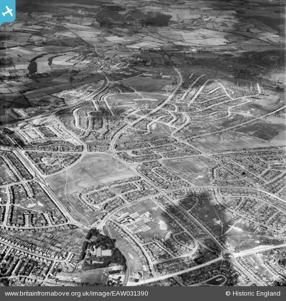
EAW031390 ENGLAND (1950). Suburban development at Parson Cross, Sheffield, 1950
© Copyright OpenStreetMap contributors and licensed by the OpenStreetMap Foundation. 2025. Cartography is licensed as CC BY-SA.
Nearby Images (4)
EAW031390

EAW031393

EAW031392

EAW003442

Details
| Title | [EAW031390] Suburban development at Parson Cross, Sheffield, 1950 |
| Reference | EAW031390 |
| Date | 26-July-1950 |
| Link | |
| Place name | SHEFFIELD |
| Parish | |
| District | |
| Country | ENGLAND |
| Easting / Northing | 434513, 392499 |
| Longitude / Latitude | -1.4805258476746, 53.427892033988 |
| National Grid Reference | SK345925 |
Pins

redmist |
Thursday 17th of January 2019 11:42:11 PM | |
|
Manon |
Tuesday 12th of May 2015 03:32:29 PM | |
|
Manon |
Tuesday 12th of May 2015 03:31:23 PM | |
|
Manon |
Tuesday 12th of May 2015 03:29:48 PM | |
|
Manon |
Tuesday 12th of May 2015 03:27:24 PM |