
EAW030879 ENGLAND (1950). Christchurch Harbour, Christchurch, 1950

© Copyright OpenStreetMap contributors and licensed by the OpenStreetMap Foundation. 2026. Cartography is licensed as CC BY-SA.
Nearby Images (2)
EAW030879

EAW030878

Details
| Title | [EAW030879] Christchurch Harbour, Christchurch, 1950 |
| Reference | EAW030879 |
| Date | 13-July-1950 |
| Link | |
| Place name | CHRISTCHURCH |
| Parish | |
| District | |
| Country | ENGLAND |
| Easting / Northing | 418018, 91458 |
| Longitude / Latitude | -1.7447203950677, 50.721893229258 |
| National Grid Reference | SZ180915 |
Pins

Class31 |
Monday 12th of October 2015 10:37:06 PM | |
|
Class31 |
Monday 12th of October 2015 10:33:39 PM | |

chainbull |
Saturday 26th of July 2014 07:54:46 PM | |
|
chainbull |
Saturday 26th of July 2014 07:54:21 PM | |
|
FONFA |
Thursday 24th of July 2014 06:13:13 PM | |
|
Bebe Bradley |
Friday 13th of June 2014 10:20:10 AM | |
|
Bebe Bradley |
Friday 13th of June 2014 10:18:32 AM |


User Comment Contributions
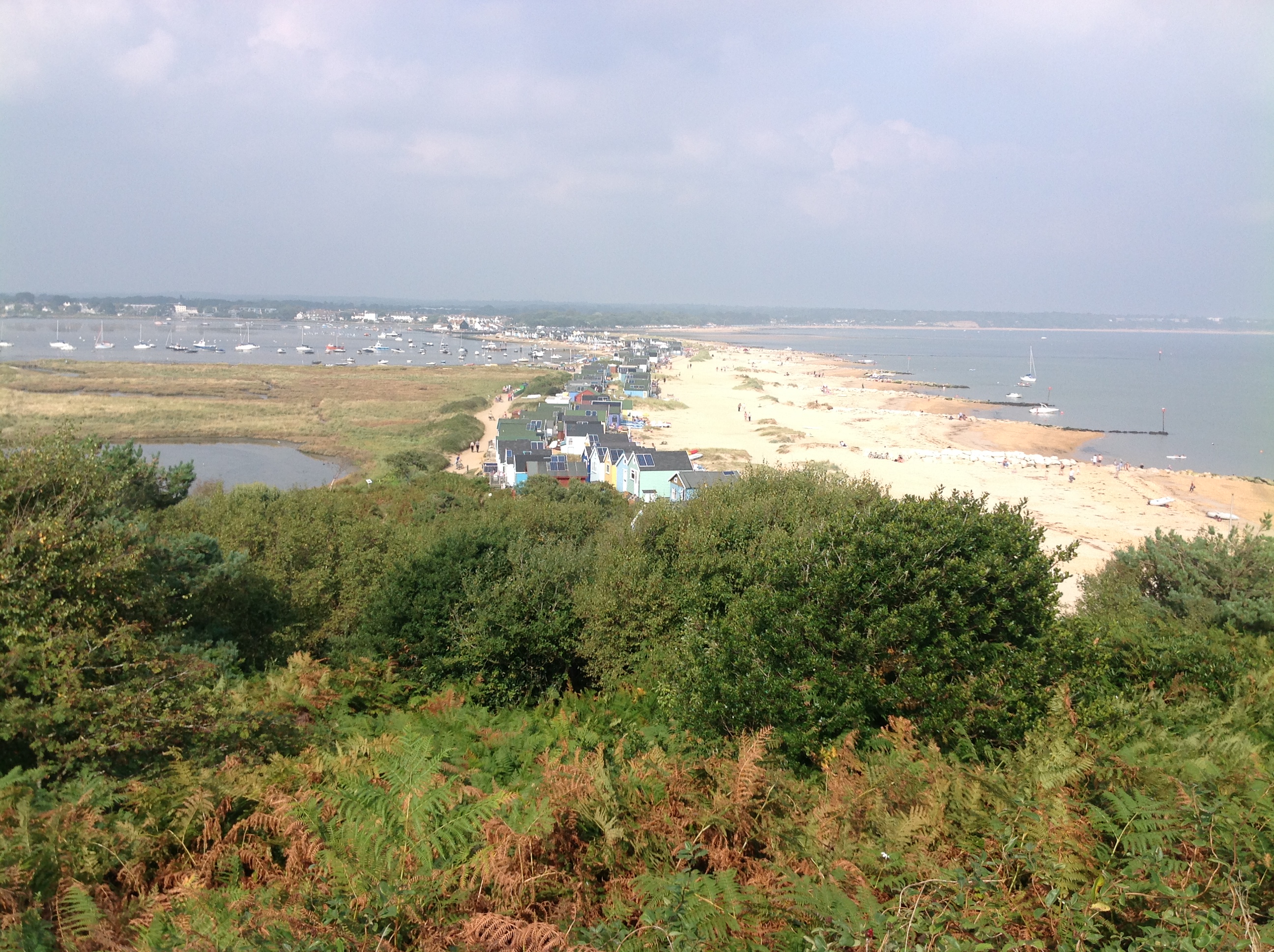
From Hengistbury Head, looking north, 07/09/2014 |
Class31 |
Tuesday 9th of September 2014 02:56:18 PM |