
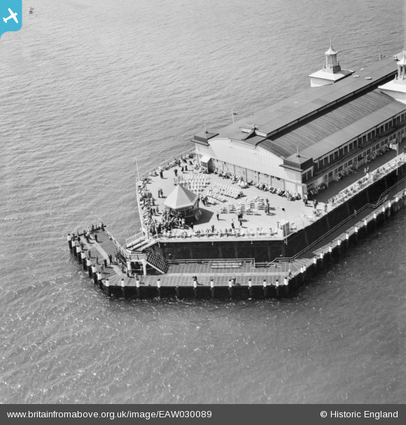
EAW030089 ENGLAND (1950). The Pier Head, Hastings, 1950
© Copyright OpenStreetMap contributors and licensed by the OpenStreetMap Foundation. 2026. Cartography is licensed as CC BY-SA.
Nearby Images (18)
EAW030089

EPW035345

EPW042840

EAW006618

EPW035346

EAW002408

EPW026188

EPW000060B

EAW002409

EPW039390

EAW006619

EAW022975

EPW035334

EPW026200

EAW002407

EPW035339

EPW039388

EPW035342

Details
| Title | [EAW030089] The Pier Head, Hastings, 1950 |
| Reference | EAW030089 |
| Date | 5-June-1950 |
| Link | |
| Place name | HASTINGS |
| Parish | |
| District | |
| Country | ENGLAND |
| Easting / Northing | 581217, 108871 |
| Longitude / Latitude | 0.57470808757242, 50.850371581118 |
| National Grid Reference | TQ812089 |
Pins
Be the first to add a comment to this image!