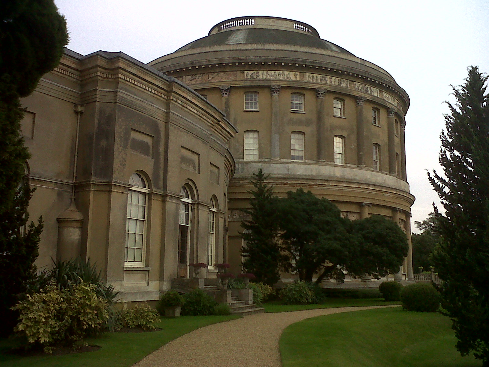
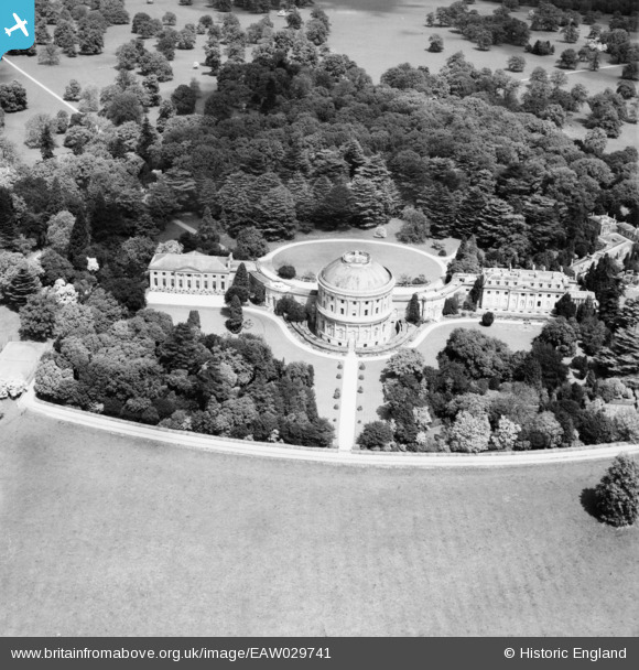
EAW029741 ENGLAND (1950). Ickworth House, Ickworth Park, 1950
© Copyright OpenStreetMap contributors and licensed by the OpenStreetMap Foundation. 2026. Cartography is licensed as CC BY-SA.
Nearby Images (3)
EAW029741

EAW029740

EAW029739

Details
| Title | [EAW029741] Ickworth House, Ickworth Park, 1950 |
| Reference | EAW029741 |
| Date | 30-May-1950 |
| Link | |
| Place name | ICKWORTH PARK |
| Parish | ICKWORTH |
| District | |
| Country | ENGLAND |
| Easting / Northing | 581566, 261329 |
| Longitude / Latitude | 0.65831561577975, 52.219800727419 |
| National Grid Reference | TL816613 |
Pins
Be the first to add a comment to this image!