
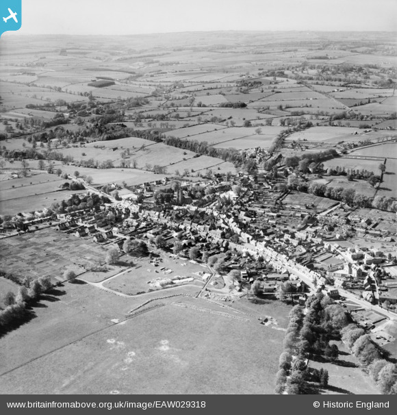
EAW029318 ENGLAND (1950). The town, Stow-on-the-Wold, from the south-east, 1950
© Copyright OpenStreetMap contributors and licensed by the OpenStreetMap Foundation. 2026. Cartography is licensed as CC BY-SA.
Nearby Images (11)
EAW029318

EPW026888

EAW014922

EAW029317

EAW048948

EAW014921

EAW048953

EPW026890

EPW026892

EAW029316

EAW048949

Details
| Title | [EAW029318] The town, Stow-on-the-Wold, from the south-east, 1950 |
| Reference | EAW029318 |
| Date | 11-May-1950 |
| Link | |
| Place name | STOW-ON-THE-WOLD |
| Parish | STOW-ON-THE-WOLD |
| District | |
| Country | ENGLAND |
| Easting / Northing | 419351, 225518 |
| Longitude / Latitude | -1.7185508058165, 51.927407908787 |
| National Grid Reference | SP194255 |
Pins
Be the first to add a comment to this image!