
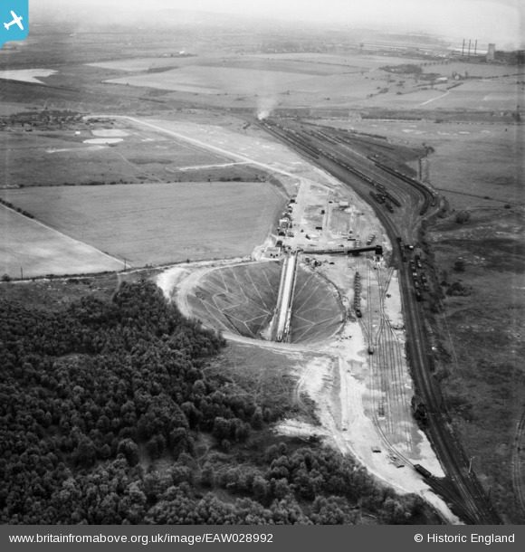
EAW028992 ENGLAND (1950). Dragonby Ironstone Mine and environs, Flixborough, from the north-east, 1950
© Copyright OpenStreetMap contributors and licensed by the OpenStreetMap Foundation. 2026. Cartography is licensed as CC BY-SA.
Nearby Images (7)
EAW028992

EAW028986

EAW028988

EAW028987

EAW028989

EAW028985

EAW028984

Details
| Title | [EAW028992] Dragonby Ironstone Mine and environs, Flixborough, from the north-east, 1950 |
| Reference | EAW028992 |
| Date | 8-May-1950 |
| Link | |
| Place name | FLIXBOROUGH |
| Parish | FLIXBOROUGH |
| District | |
| Country | ENGLAND |
| Easting / Northing | 490537, 414845 |
| Longitude / Latitude | -0.63099819079133, 53.622070246097 |
| National Grid Reference | SE905148 |
Pins

DaveH |
Thursday 28th of November 2019 02:09:34 PM | |
|
MB |
Saturday 22nd of February 2014 12:04:11 PM | |
|
MB |
Saturday 22nd of February 2014 12:03:43 PM | |
|
MB |
Saturday 22nd of February 2014 12:02:47 PM |