
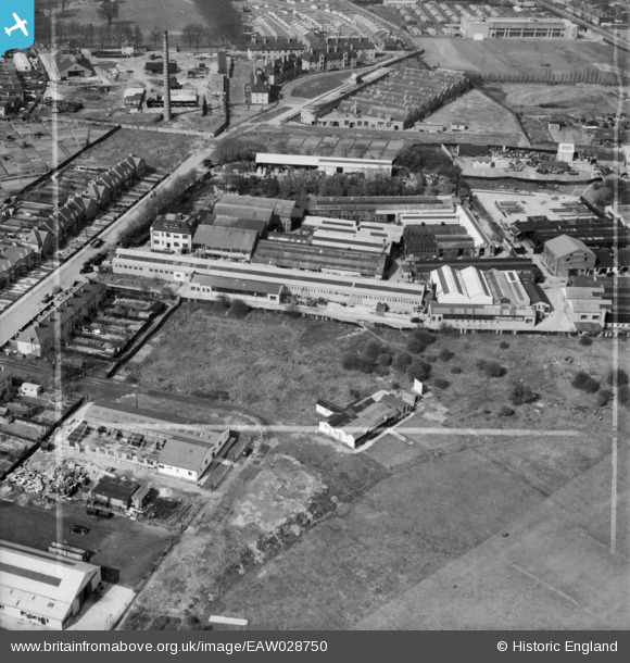
EAW028750 ENGLAND (1950). The J Gardner & Co Ltd New Monument Iron Works and environs, New Beckenham, 1950. This image was marked by Aerofilms Ltd for photo editing.
© Copyright OpenStreetMap contributors and licensed by the OpenStreetMap Foundation. 2026. Cartography is licensed as CC BY-SA.
Nearby Images (24)
EAW028750

EAW028752

EAW028753

EAW028749

EAW028746

EAW028747

EAW028748

EAW028751

EAW027248

EAW027247

EAW027246

EAW027256

EAW027253

EAW027251

EAW027244

EAW027255

EAW027245

EAW027257

EAW027258

EAW027254

EAW027259

EAW027252

EAW027250

EAW027249

Details
| Title | [EAW028750] The J Gardner & Co Ltd New Monument Iron Works and environs, New Beckenham, 1950. This image was marked by Aerofilms Ltd for photo editing. |
| Reference | EAW028750 |
| Date | 20-April-1950 |
| Link | |
| Place name | NEW BECKENHAM |
| Parish | |
| District | |
| Country | ENGLAND |
| Easting / Northing | 536496, 171096 |
| Longitude / Latitude | -0.036638673746033, 51.421925608564 |
| National Grid Reference | TQ365711 |
Pins
Be the first to add a comment to this image!