
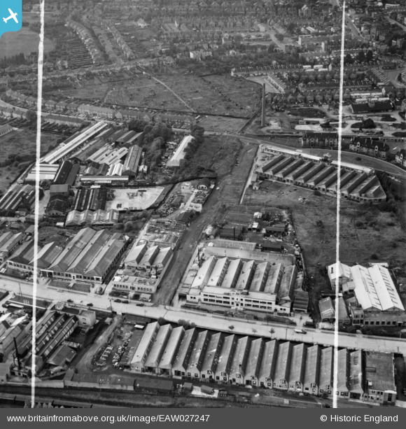
EAW027247 ENGLAND (1949). The Sydenham Industrial Estate, New Beckenham, 1949. This image was marked by Aerofilms Ltd for photo editing.
© Copyright OpenStreetMap contributors and licensed by the OpenStreetMap Foundation. 2026. Cartography is licensed as CC BY-SA.
Nearby Images (24)
EAW027247

EAW027246

EAW027248

EAW027251

EAW027244

EAW027252

EAW027253

EAW027256

EAW027250

EAW027259

EAW027257

EAW027249

EAW027254

EAW027258

EAW027245

EAW027255

EAW028749

EAW028748

EAW028751

EAW028752

EAW028750

EAW028746

EAW028753

EAW028747

Details
| Title | [EAW027247] The Sydenham Industrial Estate, New Beckenham, 1949. This image was marked by Aerofilms Ltd for photo editing. |
| Reference | EAW027247 |
| Date | 12-October-1949 |
| Link | |
| Place name | NEW BECKENHAM |
| Parish | |
| District | |
| Country | ENGLAND |
| Easting / Northing | 536615, 171243 |
| Longitude / Latitude | -0.034871375528557, 51.423218072384 |
| National Grid Reference | TQ366712 |
Pins

Gone2Kent |
Wednesday 20th of May 2015 07:30:46 PM | |
|
Gone2Kent |
Wednesday 20th of May 2015 07:30:42 PM | |
|
Julia |
Wednesday 20th of May 2015 11:36:32 AM | |
|
Julia |
Wednesday 20th of May 2015 11:36:00 AM |