
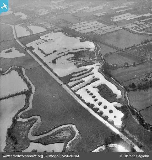
EAW028704 ENGLAND (1950). Gravel workings along the River Lea (or Lee) Navigation, Cheshunt, 1950
© Copyright OpenStreetMap contributors and licensed by the OpenStreetMap Foundation. 2026. Cartography is licensed as CC BY-SA.
Nearby Images (3)
EAW028704
 Navigation, Cheshunt, 1950")
EAW028705
 Navigation, Cheshunt, 1950. This image was marked by Aerofilms Ltd for photo editing.")
EAW028707
 Navigation, Cheshunt, 1950")
Details
| Title | [EAW028704] Gravel workings along the River Lea (or Lee) Navigation, Cheshunt, 1950 |
| Reference | EAW028704 |
| Date | 20-April-1950 |
| Link | |
| Place name | CHESHUNT |
| Parish | |
| District | |
| Country | ENGLAND |
| Easting / Northing | 537098, 203718 |
| Longitude / Latitude | -0.015255188123449, 51.714955405428 |
| National Grid Reference | TL371037 |
Pins
Be the first to add a comment to this image!