
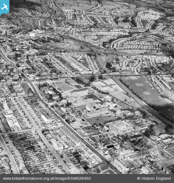
EAW028460 ENGLAND (1950). The Edgware General Hospital and the surrounding residential area, Burnt Oak, 1950
© Copyright OpenStreetMap contributors and licensed by the OpenStreetMap Foundation. 2026. Cartography is licensed as CC BY-SA.
Nearby Images (25)
EAW028460

EAW028465

EAW028466

EAW028462

EAW028459

EPW016825

EPW016826

EPW015981

EAW028461

EAW028463

EPW001355

EAW028467

EPW020061

EPW016827

EPW020054

EAW028464

EPW020056

EPW020058

EPW001354

EPW020059

EPW020060

EPW020055

EPW020057

EPW009350

EPW020062

Details
| Title | [EAW028460] The Edgware General Hospital and the surrounding residential area, Burnt Oak, 1950 |
| Reference | EAW028460 |
| Date | 29-March-1950 |
| Link | |
| Place name | BURNT OAK |
| Parish | |
| District | |
| Country | ENGLAND |
| Easting / Northing | 519781, 191220 |
| Longitude / Latitude | -0.27010213348558, 51.606587771803 |
| National Grid Reference | TQ198912 |
Pins

Airwick |
Sunday 12th of March 2023 08:27:18 PM | |
|
Airwick |
Sunday 12th of March 2023 08:26:27 PM | |
|
Airwick |
Sunday 12th of March 2023 08:26:11 PM | |
|
Airwick |
Sunday 12th of March 2023 08:25:30 PM | |
|
Airwick |
Sunday 12th of March 2023 08:25:11 PM | |
|
John Wass |
Saturday 19th of July 2014 04:52:51 PM |